Earth Orbit Edition
ISS Issue
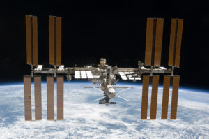
From Sea to Space
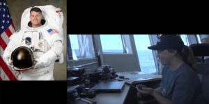
November Alpha One Sierra Sierra, this is November Yankee Zero Victor, Maritime Mobile, copy?…”
“… November Alpha One Sierra Sierra heard you loud and clear.”
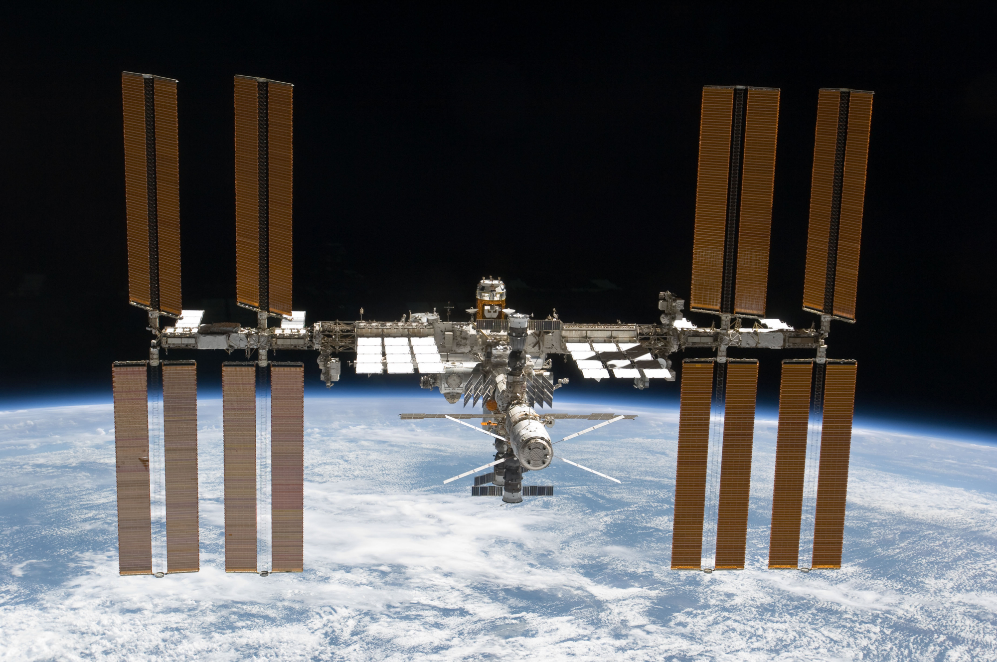
Station Commander Shane Kimbrough’s (Radio call sign NA1SS) voice was met with clapping and cheers When Tom Vinson (NY0V) made contact. The crew in the International Space Station is extremely busy and a few previous attempts to chat didn’t pan out. So the crowd gathered on the bridge of the Mermaid Vigilance knew this talk was special.
Sallie Smith jumped on the microphone first and asked if he had a message for the kids and educators following along on our expedition. He said he has a soft spot in his heart for educators and his message for the kids was, “You have to work hard. Things don’t come easy. Things like this require a lot of work, as well as anything that’s worthwhile in life. So study hard, work your tail off. Find something you are passionate about and then get after it and you will be amazed at what you can accomplish.” Cap’n Joe was next and he told Kimbrough it was an honor to be speaking with the commander. They chatted about how the ISS crew will be heading home in three weeks on April 10th to complete their six-month mission. Joe asked if they talk Earth politics with the cosmonauts. It turns out that part is similar to ship etiquette; the diverse group stays away from politics and just keeps things business and pleasure. Marika then asked about his favorite thing to do in the unique environment. Kimbrough said his favorite thing is to look out the window back at our beautiful planet.
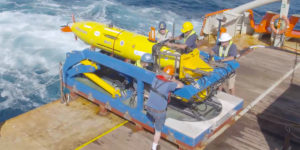
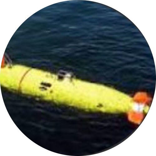
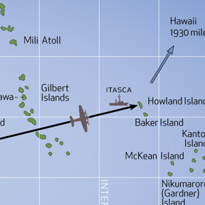
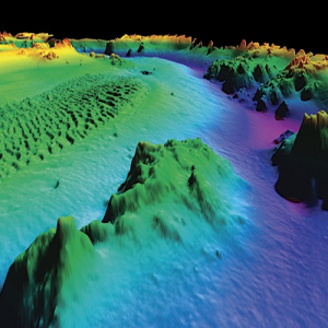
Next Oleks said a quick few words to Russian Cosmonaut Sergey Ryzhikov wishing him a successful and safe stay and return from space. Then Sergiy got to speak with Sergey! Our ship’s ETO and the cosmonaut chatted in Russian about how little free time there is up there and the beauty of life out the window. I think our Sergiy wins the award for the biggest smile through the event. Tom explained what we are up to out here looking for the Electra and Kimbrough asked how the search was going. Tom said all was well and mentioned we were using a REMUS AUV from WHOI searching at 5,500 meters depth.
The very exciting exchange ended with an agreement to try to get astronaut Peggy Whitson on the line next time. “Chat again on Sunday. NA1SS, out”
— Marika Lorraine